Flooding in Coffs Harbour
The Great Dividing Range passes very close to the coast in the Coffs Harbour local government area. With the proximity of the coastal ranges to the ocean, the coastal plain has no major river systems, but there are numerous small creek systems. Overall there are 16 major coastal creeks plus the inland waterways of the Bobo River, Little Nymboida River, Bucca Creek and Orara River.
Map of waterways & catchments in Coffs Harbour(PDF, 758KB)
Flood maps
Flood Maps for the Local Government Area are periodically updated and accessing online mapping is the best way to get the most up to date information.
You will need to select the 'Planning and Environment' module and the 'Flooding information' layer. Be sure to watch the video on how to use the tool before using it.
Flooding maps
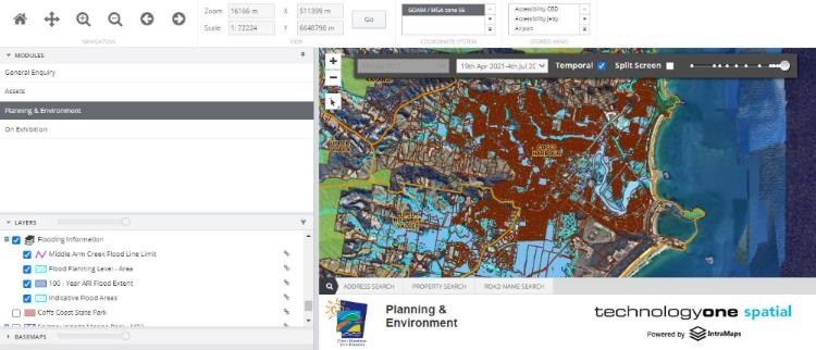
Image: Screenshot of our online mapping tool with the 'Planning and Environment' module and the 'Flooding information' layer selected.
Climate & Rainfall
Coffs Harbour experiences a moderate climate, which has been classified as humid sub-tropical. This is characterised by warm to hot summers and mild winters. The area experiences a high rainfall, averaging 1700mm annually, with most rain falling in late summer and early autumn. The cooler months receive much less rainfall, and dry spells are not uncommon from April to October.
Landform has a strong influence on rainfall within the area. Higher rainfall occurs east of the coastal range, due to moist maritime air rising over the land, and can lead to high intensity storms.
Because the catchments are steep, relatively small in area and subject to high rainfall intensities, they experience what is termed 'flash flooding'.
Flash flooding is:
- flooding that peaks within six hours of the rain that caused it;
- very sudden, with little warning of its coming;
- a result of local heavy rainfall;
- characterised by rapid rises of stream levels with elevated levels experienced for short periods of time.
History of Flooding in Coffs Harbour
There is a long history of flooding in Coffs Harbour. Significant flood events have occurred in 1917, 1938, 1950, 1963, 1974, 1977, 1989, 1991 and 2009.
In November 1996, a natural disaster was declared when Coffs Harbour experienced major flash flooding with some 800 properties flood affected. The 1996 storm event caused inundation above floor level of over 250 residential properties and 210 commercial or public properties. 300 people were evacuated.
In 2009, a storm on 31 March saw Coffs Creek peak at 5.14m resulting in flash flooding in the Coffs Harbour CBD and surrounding streets.
On 5 November 2009, another major storm saw more than 500mm of rain fall within 48 hours, resulting in further flash flooding in the city centre area.
Significant flood events have also been seen in other localities across the LGA, in particular in the Corindi and Arrawarra catchments in 2012 and 2021, and the Upper Orara catchment in 2020.
In February 2021, a storm saw over 300mm of rain fall in 6 hours in the Upper Corindi catchment. This led to significant flash flooding in both the Upper Corindi and Lower Corindi areas impacting a number of properties.
Learn about our Flood mitigation program